How Long Is The Hike To The Waterfall In El Yunque?
Walking times, distances and elevation for every waterfall hike in El Yunque National Forest, plus which trails reach water and which tours visit falls outside the forest boundary.
How Long Is The Hike To The Waterfall In El Yunque?
Expect anywhere from zero minutes to about four hours of walking, depending on which waterfall you mean: La Coca Falls sits beside the road, Juan Diego Falls is a short path with a 30-minute parking cap, and the Angelito Trail to Las Damas Pool is 0.4 km each way. The Mount Britton Trail climbs 1.3 km with 591 feet of elevation. The famous La Mina Falls is the exception: both trails to it are closed.
That spread is the single most useful thing to understand before you book anything in this forest. A great deal of tour copy says "waterfall" without saying which one, and the difference between the options is the difference between a photo stop from your car window and a genuinely sweaty climb. El Yunque National Forest is the only tropical rainforest within the national forest system, at nearly 29,000 acres across eight municipalities, and its water features range from roadside cascades to river pools reached by dirt path.
There is also a boundary question that most pages never raise. Several of the "El Yunque waterfall" tours on the market spend their day at falls that are not inside the national forest at all. Las Tinajas and Charco Frío, two of the most common stops on waterslide and waterfall tours, sit outside the forest boundary on the Luquillo side, and the natural waterslides at Las Paylas are on private land with no Forest Service oversight whatsoever. Knowing which category you are buying changes which walking time matters to you.
If you are choosing a tour rather than driving yourself, the walking time question matters twice over. A tour that promises a waterfall in a four-hour window is not hiking you deep into the backcountry; it is almost certainly visiting a short-walk fall or one of the outside-the-boundary swimming spots. A tour with an eight-hour window, like the guided hikes with pickup from San Juan, has the time budget for a real trail. The El Yunque waterfall tours guide breaks the whole roster down by which falls each one actually reaches.
One more framing fact before the numbers: entrance to the PR-191 North recreational corridor is free, no reservation is required, and hours are 8:00 a.m. to 5:00 p.m., with the Forest Service advising visitors to begin exiting 15 minutes before closing. Whatever your walking plan, the clock on the day is capped at that window. The official current conditions page is the authority on access.
How Long Does Each Waterfall Trail Actually Take?
Working from Forest Service trail data, the short walks take minutes and the real hikes take hours: Angelito Trail runs 0.4 km one way with 132 feet of elevation change, Juan Diego Falls is a short path with a 30-minute parking maximum, and Mount Britton Trail covers 1.3 km with 591 feet of climbing to a tower at 3,087 feet, while the retired La Mina and Big Tree trails ran 0.7 and 0.9 miles.
The Forest Service publishes length and elevation figures for each trail, and those numbers translate into walking times that vary enormously with fitness and with how wet the path is. This is a rainforest: annual rainfall ranges from roughly 96 inches at lower elevations to over 157 inches at higher stations, and the Forest Service's own preparation advice leads with footwear, warning that wet surfaces can be a hazard and even more so on a slope. A "45-minute trail" on a dry day in a temperate park can be an hour and a quarter here, on mossy stone steps slick from the morning's rain.
| Trail or site | Distance | Elevation change | Difficulty per Forest Service | What you reach |
|---|---|---|---|---|
| Juan Diego Falls | Short path from PR-191 km 9.6 | 483 m site elevation | Short walk | Natural pool on Juan Diego Creek, wading listed |
| Angelito Trail | 0.4 km one way | 132 ft / 40 m | Easy | Río Mameyes and Las Damas Pool, swimming listed |
| La Mina Trail | 0.7 mi / 1.1 km | 492 ft / 150 m | Challenging | La Mina Falls (trail closed) |
| Big Tree Trail | 0.9 mi / 1.4 km | 164 ft / 50 m | Moderate | La Mina Falls (trail closed) |
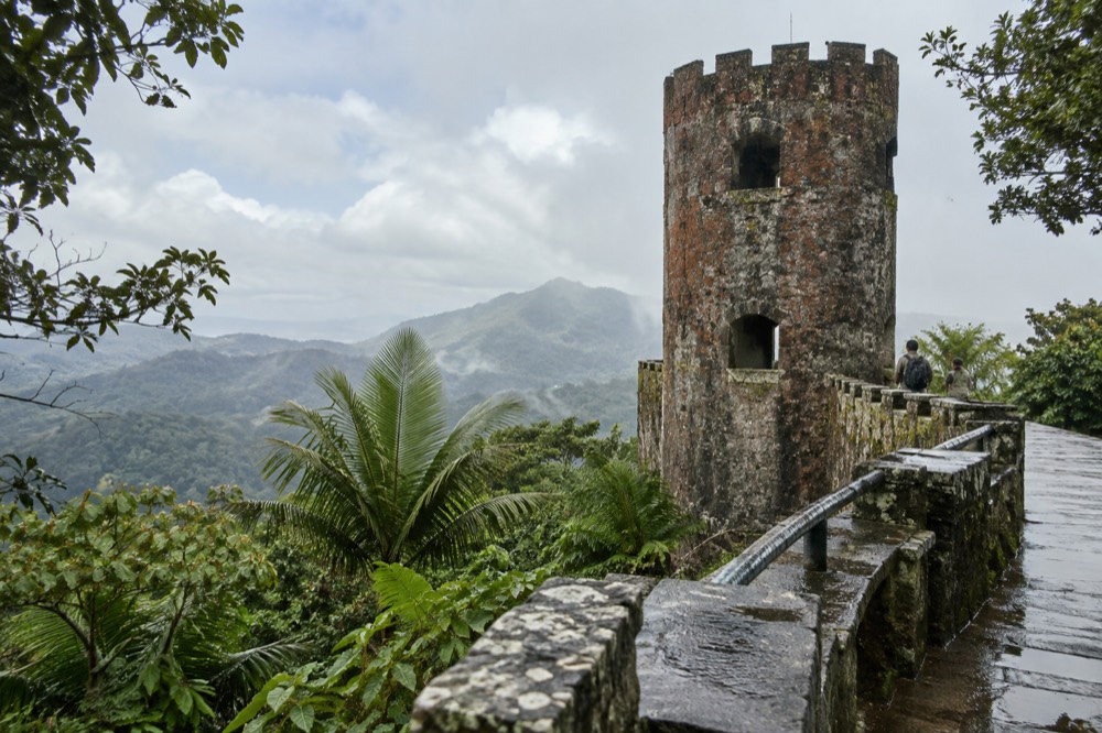
| Mt. Britton Trail | 1.3 km | 591 ft / 180 m | Challenging | Stone tower at 3,087 ft, two stream crossings |
| El Yunque Trail | 2.6 mi / 4.2 km | 1,378 ft / 420 m | Challenging | El Yunque Peak (section closed past Los Picachos) |
| El Toro Trail | 2.3 mi / 3.8 km | 1,325 ft / 404 m | Difficult | El Toro Peak, 3,524 feet, about a 3-hour hike |
Read that table with two cautions. First, the two trails that end at La Mina Falls are listed with their historical statistics because they are closed; the distance is real but you cannot walk it today, and closure status in this forest changes with construction and storm repair, so the Forest Service trails status alert is the page to check before any visit. Second, "difficulty" labels from the Forest Service are honest but spare: the La Mina Trail's "challenging" rating came specifically from several sets of winding concrete stairs that made the return trip arduous, and the La Coca Trail carries the service's bluntest note, that it is one of the trails where they lose the most people.
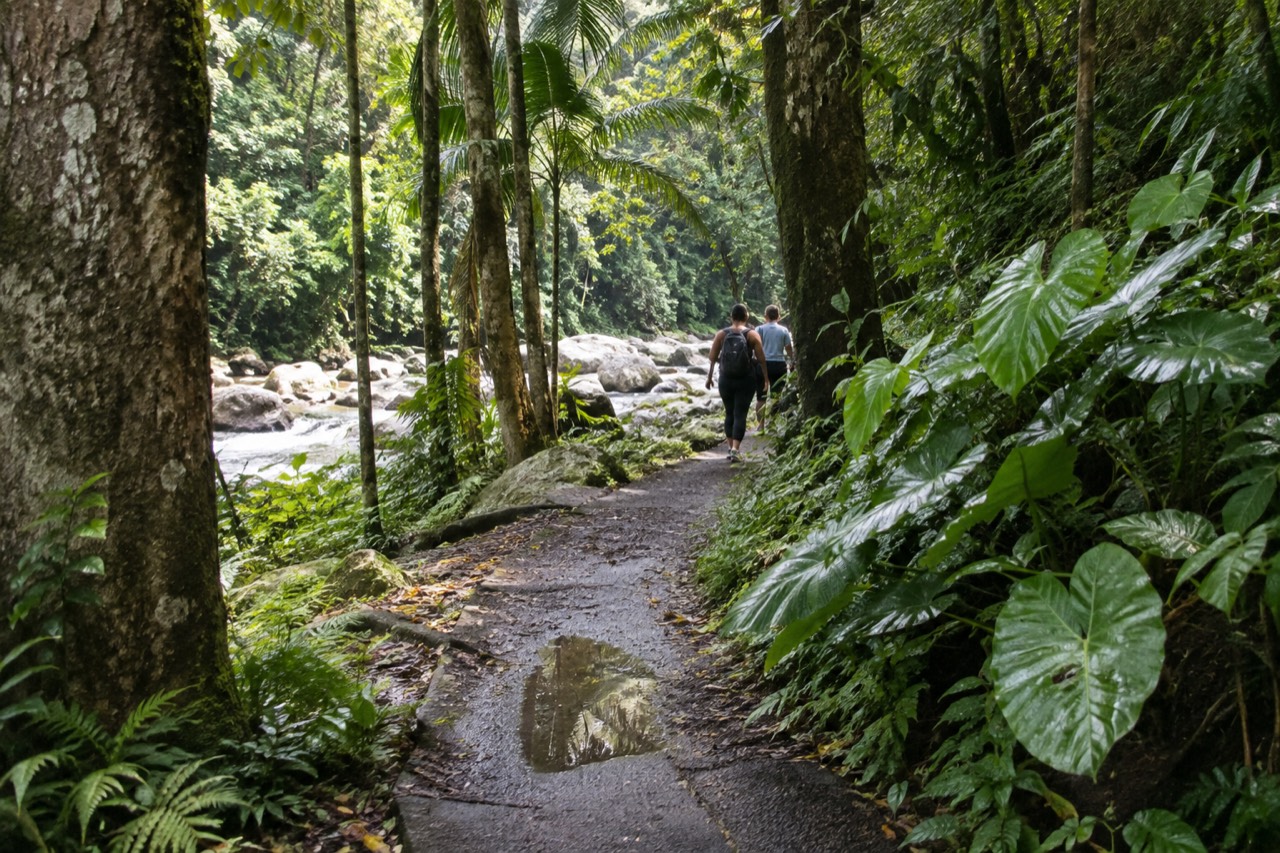
For planning purposes, a rough translation works like this. The Angelito Trail to Las Damas Pool is a genuine 15-to-25-minute walk down through Tabonuco trees, and you should budget more time coming back up than going down. Juan Diego is quicker still, but the 30-minute parking cap means the site effectively gives you a short visit by design. Mount Britton is a solid hour up for a fit hiker, longer for anyone stopping to breathe, and the same distance back. El Yunque Trail end to end is a half-day commitment. The El Yunque hiking trails guide covers the full network, including which trails connect to which.
Which Waterfall Hikes Are Open Right Now?
Trail and site closures in El Yunque change with construction and storm damage, so no honest page can promise a standing status; the Forest Service's alerts index is the live authority. Structurally, La Mina Trail and Big Tree Trail, the two routes to La Mina Falls, are carried as closed on the official trails status alert, while Juan Diego Falls and the Angelito Trail are Forest Service sites where swimming and wading are listed.
The La Mina situation deserves its own explanation, because it is the question most visitors are actually asking. La Mina Falls is the waterfall in most of the famous photographs of this forest, the one dropping roughly 35 feet into a pool, and for years it was the marquee hike. Both approaches, the 0.7-mile La Mina Trail from the Palo Colorado Information Center at PR-191 km 12.2 and the 0.9-mile Big Tree Trail from km 10.4, are carried as closed on the Forest Service's trails status alert, and the service's FAQ says plainly that the trail and falls remain closed for construction while recovery from the 2017 hurricanes continues. The La Mina Falls guide keeps the full history and the current picture in one place.
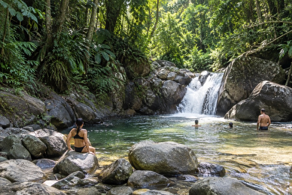
That leaves the water features you can actually walk to, and the honest list is shorter and better than the rumor mill suggests. Juan Diego Falls, at PR-191 km 9.6, offers a short path to a natural pool along Juan Diego Creek with a waterfall you can wade into, with a 30-minute parking maximum because of limited capacity. The Angelito Trail, on Road 988 at km 3.6 in Luquillo, descends 0.4 km through lower montane forest to the federally designated Wild and Scenic Río Mameyes and Las Damas Pool, and the Forest Service describes it as a nice trail for families with younger children. The Juan Diego Falls and Angelito Trail guide covers both in detail.
Two roadside features round out the picture and involve no hiking at all. La Coca Falls, at PR-191 km 8.1, drops 85 feet onto a rock formation at the base and is a viewing stop: the only listed recreation opportunity is viewing scenery, and swimming is not among them. Baño Grande, the 18-foot-deep man-made pool built by the Civilian Conservation Corps in the late 1930s, has been closed to swimmers since 1968 and is posted "no swimming permitted"; it is a scenic and historic photo stop across from Palo Colorado at km 11.9, not a swimming hole, no matter how often third-party copy says otherwise. More of these guides are collected on El Yunque National Forest Tours.
Every one of these statuses is volatile, and the Forest Service maintains the alerts index precisely because conditions move. Check the official alerts page before you go, and treat any page, including this one, as a snapshot rather than a promise.
What About The Waterfalls Outside The Forest Boundary?
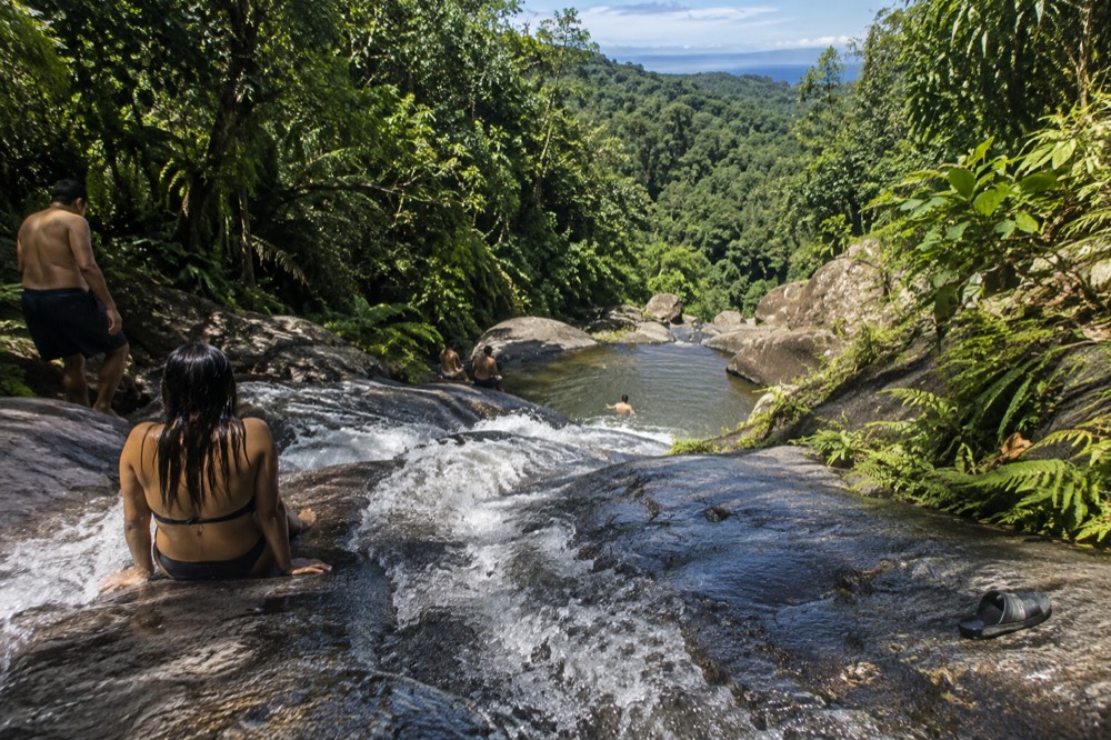
A large share of the tours marketed as El Yunque waterfall experiences spend their time at falls that are not in the national forest at all: Las Tinajas and Charco Frío sit outside the forest boundary, and the Las Paylas waterslides are on private land in Luquillo with no Forest Service management, staffing or safety oversight. These spots have their own walking times, and the access is arranged with landowners on the spot.
This is the part of the market where the walking-time question gets genuinely confusing, because a tour listing can say "El Yunque waterfall and waterslide" and mean a swimming hole reached by a scramble down a riverbank on the Luquillo side. Las Paylas, the natural rock waterslides, was point-tested against two USDA Forest Service GIS layers, the administrative forest boundaries and the basic ownership layer, and returned zero features in both, while a La Coca Falls control point returned El Yunque National Forest in both. It appears on none of the Forest Service's 37 published recreation sites. The Luquillo waterslides guide explains what that means for what you are actually buying.
The walking at these spots is a different kind of walking. Rather than a built trail with a measured length and an elevation figure, you typically get a short, steep, unmaintained descent to a river, wet rock, and the falls and slides themselves. Traveler reviews on the tour listings describe rope swings, cliff jumps and natural slides at these locations, and those descriptions are real accounts of real days, but they are not permissions: they happen at specific operator-visited spots, several of them outside the federal forest, and they must never be read as a general license to swim or jump anywhere in El Yunque National Forest. The only swimming the Forest Service itself lists is at its own named sites, Juan Diego, Angelito and Las Damas Pool, Puente Roto, Quebrada Grande, Quebrada Sonadora, the Río Espíritu Santo Observation Point and the Río Sabana Recreation Area, each carrying the standard flash-flood warning.
The flash-flood warning is not boilerplate here. The Forest Service's flooding page states that flash floods can occur throughout the year, more frequently in the rainy months of April and May, and that a sudden surge can claim victims in less than one minute, with flood water capable of reaching heights of 30 feet or more and rolling boulders and vehicles. For river swimming of any kind, the Río Mameyes has a live USGS gauge (site 50065500) publishing real-time discharge and gage height, and the Río Espíritu Santo has a National Weather Service river gauge page, so you can check the water before you get in it.
For tour choosers, the practical takeaway is to read the stops list rather than the headline. A listing that names Luquillo Beach, the kiosks and Las Paylas is selling a day largely outside the forest. A listing that names Río Mameyes, La Coca Falls and Yokahú Tower is a forest-corridor day with short walks. And a listing that simply says "hidden waterfall" with an eight-hour runtime is the one most likely to involve real trail time, which is exactly why the walking-time question matters when you compare them.
How Fit Do You Need To Be For A Waterfall Hike?
For the short walks, no special fitness is needed: Angelito is rated easy and Juan Diego is a short path, both manageable for families. For Mount Britton, El Yunque Trail or El Toro, you need genuine hill fitness, because the Forest Service rates all three challenging or difficult, with elevation changes from 591 feet on Mount Britton to 1,378 feet on the El Yunque Trail and 1,325 feet on the roughly 3-hour El Toro climb.
The honest fitness question is really a stairs-and-slickness question. The retired La Mina Trail's difficulty came from winding concrete stairs; Mount Britton crosses two mountain streams; and every trail in this forest gets wet, because the upper elevations average over 157 inches of rain a year and the La Mina weather station once recorded annual totals between 147 and 254 inches across an eight-year span. The Forest Service's footwear advice, good shoes with traction because it is wet and mossy, is the single best piece of preparation guidance published for this forest, and the what to wear and bring guide builds a full packing list around it.
Age and mobility cut both ways. The Angelito Trail is explicitly recommended for families with younger children, and El Portal's interpretive loop below the visitor center is packed gravel with an accessible portion. At the other end, the El Toro Trail to the forest's highest peak at 3,524 feet is a difficult, roughly 3-hour hike one way through the El Toro Wilderness, the only tropical wilderness in the U.S. National Forest System, and it is not a place to discover your knees. Between those poles, most visitors in ordinary health manage Mount Britton with rest stops, which is why it anchors most serious hiking itineraries.
This is where a guided hike earns its price, and not for the reasons tour copy usually gives. There is no reservation to skip, because entry to the corridor is free and unreserved; what a permitted operator provides is a legal vehicle and drop-off, a solution to the parking constraint that the Forest Service manages the whole corridor around, and a guide who knows which trails are actually walkable on the day. Parking is permitted only in designated areas, violators are ticketed at La Coca, and Yokahú Tower and Juan Diego both carry 30-minute parking maximums, so a self-driver spends real energy on logistics that a tour absorbs. Rideshare apps cannot pick up at the corridor or El Portal at all, and not every taxi holds a forest permit, so the driverless visitor has a genuine problem a tour solves.
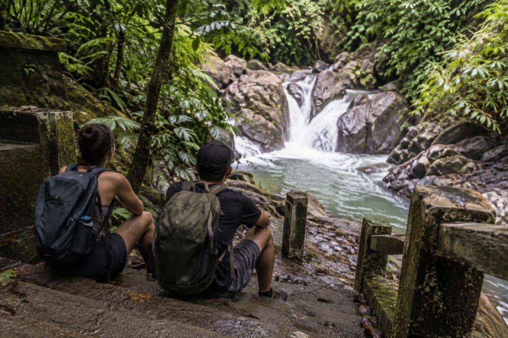
The 8-hour rainforest hiking adventure from San Juan is the roster's clearest example of the format: hotel pickup, a full day of trail time, and a guide making the open-versus-closed calls on the spot, rated 4.8 across 181 reviews and priced from $103.44. Check availability if a real hike rather than a photo circuit is the goal; the rainforest hiking adventure tour page has the full stop list and what the day covers.
For a softer version of the same logic, the island day tour with a visit to El Yunque, rated 4.9 across 1,655 reviews from $89, trades deep trail time for confirmed stops at La Coca Falls and Yokahú Tower with hotel pickup, which suits travelers who want the forest's roadside highlights without a hiking day.
Common Questions About The Hike To The Waterfall In El Yunque
How Long Is The Hike To The Waterfall In El Yunque?
It depends which waterfall: La Coca Falls requires no hike at all, Juan Diego Falls is a short path with 30-minute parking, the Angelito Trail to Las Damas Pool is 0.4 km each way, and Mount Britton is 1.3 km with 591 feet of climbing. The two trails to La Mina Falls, 0.7 and 0.9 miles, are closed, so check the Forest Service trails status alert before planning around them.
Can you still hike to La Mina Falls?
Not on the published trails. Both approaches, the La Mina Trail and the Big Tree Trail, are carried as closed on the Forest Service trails status alert, and the service's FAQ says the trail and falls remain closed for construction. Check the official alerts page for the current status rather than any third-party page.
Which waterfall can you actually swim at in El Yunque?
The Forest Service lists swimming and wading at Juan Diego Falls, the Angelito Trail and Las Damas Pool on the Río Mameyes, Puente Roto, Quebrada Grande, Quebrada Sonadora, the Río Espíritu Santo Observation Point and the Río Sabana Recreation Area. La Coca Falls is viewing only, and Baño Grande has been closed to swimmers since 1968.
How long do you need in El Yunque for a waterfall hike?
For the short walks, budget an hour or two including parking and viewing. For Mount Britton, budget three to four hours round trip at a relaxed pace. Remember the corridor itself is open 8:00 a.m. to 5:00 p.m., and the Forest Service advises starting to exit 15 minutes before closing.
Do El Yunque waterfall tours hike inside the forest?
Some do and some do not. Tours listing Río Mameyes, La Coca Falls or Yokahú Tower are forest-corridor days with short walks. Tours listing Las Tinajas, Charco Frío or the Las Paylas waterslides are visiting spots outside the national forest boundary, and Las Paylas is on private land with no Forest Service oversight.
Is the waterfall hike in El Yunque hard?
The short walks are not: Angelito is rated easy and Juan Diego is a short path. Mount Britton is rated challenging for its 591 feet of elevation, and the El Yunque and El Toro trails are challenging and difficult respectively. Wet, mossy surfaces are the universal difficulty multiplier here, which is why the Forest Service leads its advice with traction footwear.